Grahaa Space's nanosatellite constellation will deliver near real-time, high-resolution geospatial data that supports informed decision-making across a wide range of sectors. From strengthening defence and security operations and providing industrial activity monitoring to informing urban planning our technology provides timely, reliable insights where they matter most. By bridging the gap between space and Earth, we offer tailored solutions that improve resource management, enhance operational awareness, and contribute to a more resilient and sustainable world.
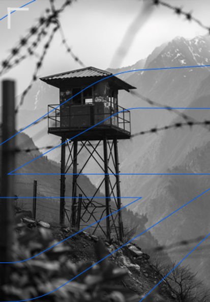
Enable secure and reliable intelligence gathering for military and defense operations. Our satellite solutions provide critical data for strategic decision-making.
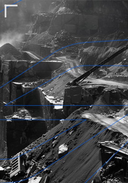
Enhance mining operations with precise earth observation. Monitor land use, environmental impact, and resource management from space.
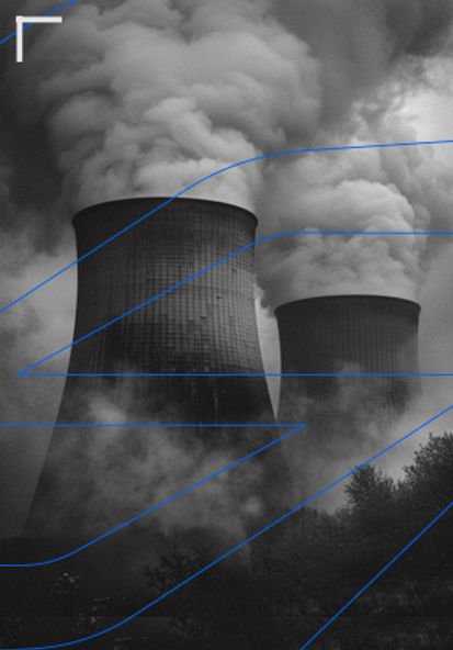
Gain insights into industrial activities with our satellite solutions. Monitor factory operations, pollution levels, and supply chain dynamics effectively.
Accelerate disaster and emergency response with near real-time satellite intelligence. Monitor floods, wildfires, and storm impacts as they unfold to guide rescue, relief, and recovery operations.

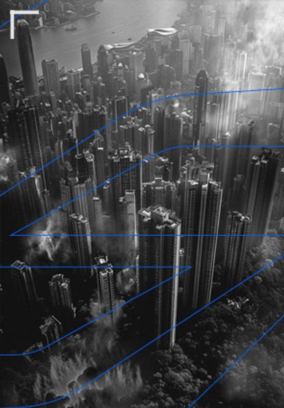
Support urban development with accurate satellite data. Monitor infrastructure, manage utilities, and plan smart cities with our technology.
Utilise our satellite technology for real-time forest monitoring. Track deforestation, biodiversity, and ecosystem health with high-resolution imaging.